
Navigating Cardiff Bay
As you enter Cardiff Bay, having passed through the locks, you will find yourself in a non-tidal fresh water environment that is replenished by the rivers Taff and Ely.
The immediate landmarks you will see are Penarth Quays Marina to port and the River Ely in front of you. As you enter into the Bay you will note Cardiff Bay Yacht Club on the headland slightly to starboard.
Speed limits

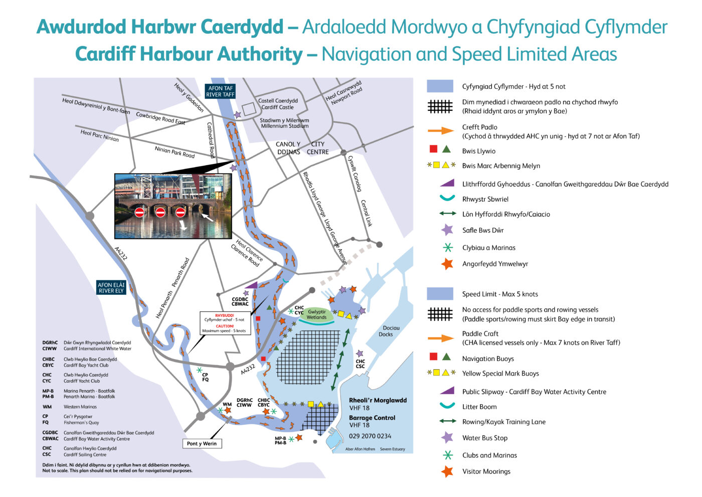
The speed limit for the Cardiff Bay inner harbour is a maximum of 5 knots.
The 5 knot limit also applies to boats using the River Taff.
Harbour Authority-licensed, passenger-carrying vessels are permitted to travel at a maximum of 7 knots in the River Taff. The speed limit for all other vessels using the River Taff is 5 knots.
Temporary speed restrictions
During water-based events, temporary speed restrictions may be established throughout the Bay. These will be notified through Local notices to mariners as well as by Harbour Authority staff managing the event.
Bay level and depths
Water levels in the Bay (the height of the water surface) are referenced to Ordnance Datum and will be given as a height above this datum – AOD. Levels may vary between 4.0m and 7.5m AOD. The level at any given time may be obtained from Barrage Control. The depth of water within the Bay is maintained as close as possible to 4.5m AOD, with Bay depths in general being 2.5m or greater, however, care should be taken when navigating within the Harbour limits.
Navigation within the Bay is relatively straightforward. Mariners should note that due to potential strong currents in front of the Barrage sluices, vessels should keep to the correct side of the West Cardinal Mark, ie the river/Bay side of the mark.
Mariners should also be aware that the area directly downstream of the sluices outside of the Barrage is an exclusion zone, as high flows present a serious health and safety risk. Under no circumstances should mariners enter this area.
River Ely
There is a 5 knot speed limit for River Ely.
Please use caution when passing under bridges, and keep a look out for paddle craft and vessels emerging from mooring areas.
Bridges
Pont y Werin
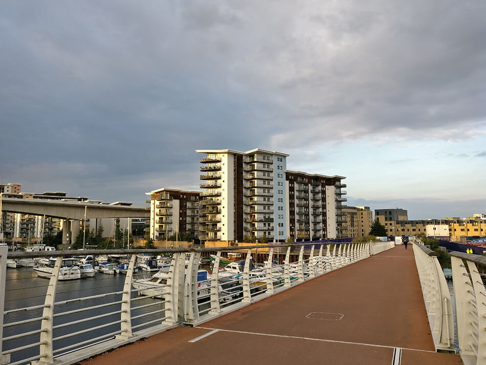
Pont y Werin is located about halfway along Cardiff Marina’s moorings.
The bridge spans over the River Ely, connecting Cardiff and the Vale of Glamorgan for pedestrians and cyclists. The centre section lifts for navigation and boat operations. It is managed by Barrage Control, who can be contacted on VHF Channel 18.
- Vessels may pass under the fully lowered bridge if there is sufficient air draught.
- When the three vertical red lights are extinguished either side of the bridge, you may proceed. The decision to proceed always rests with the Master of the vessel.
- Orange lights are illuminated under the lifting span at night to confirm that it is closed.
- When the bridge is being prepared to open or close, the lights on either side of the channel (both upstream and downstream) will show fixed red – meaning no vessels are to proceed.
- Navigation lights will flash red – if emergency action is required (maintain a listening watch on VHF Channel 18).
1. A request to lift the bridge can be made on VHF Channel 18 to Barrage Control, who will confirm the next available opening time.
2. Bridge lifts will be as per the following timetable:
Lift at five minutes past the hour
Lift at 25 minutes to the hour
Cogan Spur bridge
A road bridge, the Cogan Spur, is a short distance above Pont y Werin. It is possible for small boats to navigate further upstream, but you are advised to exercise caution when passing under bridges.
Cardiff Marine Village lies approximately 1.5 miles upstream of the river entrance, just beyond the Penarth Road Bridge.
River Taff
There is a speed limit of 7 knots for Harbour Authority-licensed, passenger-carrying vessels on the River Taff. The speed limit for all other vessels using the River Taff is 5 knots.
When navigating on the River Taff, you should exercise caution when passing under bridges.
Bridges
Butetown Link Road bridge
As you travel upstream, the Butetown Link road bridge is clearly marked on either side by port and starboard markers; no other arches are navigable.
Please be aware of paddlecraft and rowing craft in this area. Your wake can seriously affect them, so be vigilant.
Further upstream, the depth of water beyond the railway arches is less than 1.5m in many places, and navigation for pleasure craft beyond this bridge is NOT ADVISABLE.